
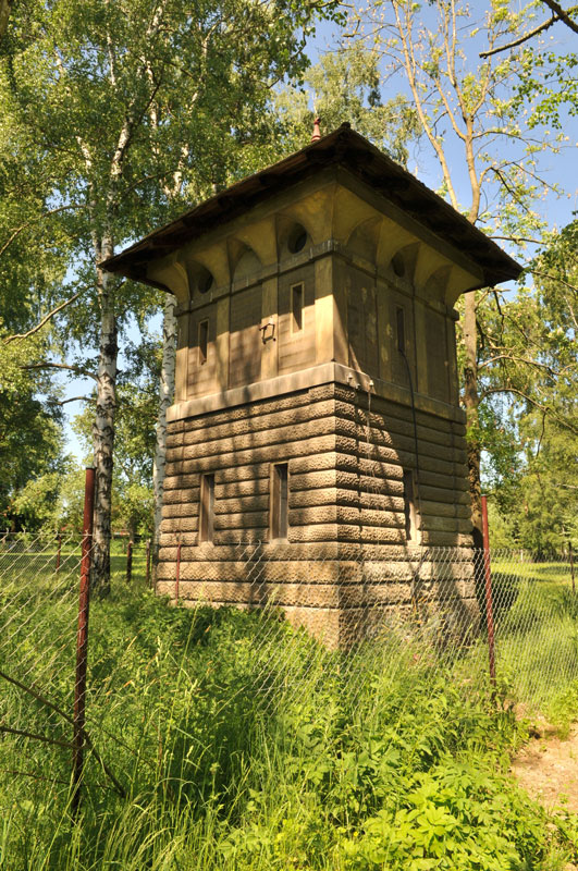
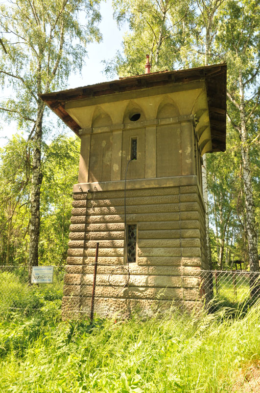
This Neo-Renaissance technical building was erected in 1917. It was designed by Jan Vladimír Hráský, together with the complete design for the water mains. It has an eclectic character with some Art Nouveau elements. The water well was in use until 1970’s when Benešov was connected to the remote water supply Želivka. The Water tower is registered in the Central list of cultural sights of the Czech republic.
Address:
Kulturní a informační centrum Benešov, s. r. o.
Na Karlově 2064, 256 01 Benešov
Telefon:
+420 317 726 004
Mobil:
+420 737 205 534
E-mail:
infocentrum@kicbenesov.cz

© 2026 Kulturní a informační centrum Benešov, s. r. o.

